 White Pockets Arizona
Vermilion Cliffs National Monument
It had been several years since I spent time hiking and photographing in the Vermilion Cliffs National Monument and with a little free time on my hands I decided it was time for a return visit so set off to explore a specific location called the White Pockets. I’d seen a number of photos of the formations and it seemed like a fascinating location. Little did I know that the first trip would turn into three, each spaced a week apart and under different weather, and “road”, conditions.
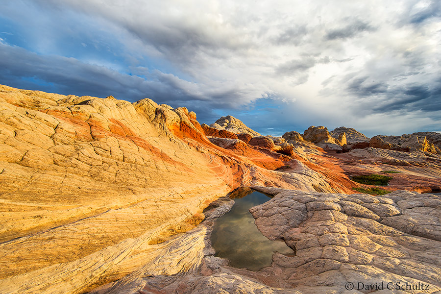
The first time I visited I had to come in from the South off highway 89A since the dirt, sand and gravel road was washed out in places due to heavy thunderstorms the day before. The rain was a mixed blessing as it helped pack down the deep sandy two-track road on which you travel for several miles and it also added some great pools of water within the White Pockets. Remnants of the thunderstorms made for a more interesting sky as well as providing a bit of much needed shade. The next trip, a wekk later, allowed for night sky and Milky Way shooting.
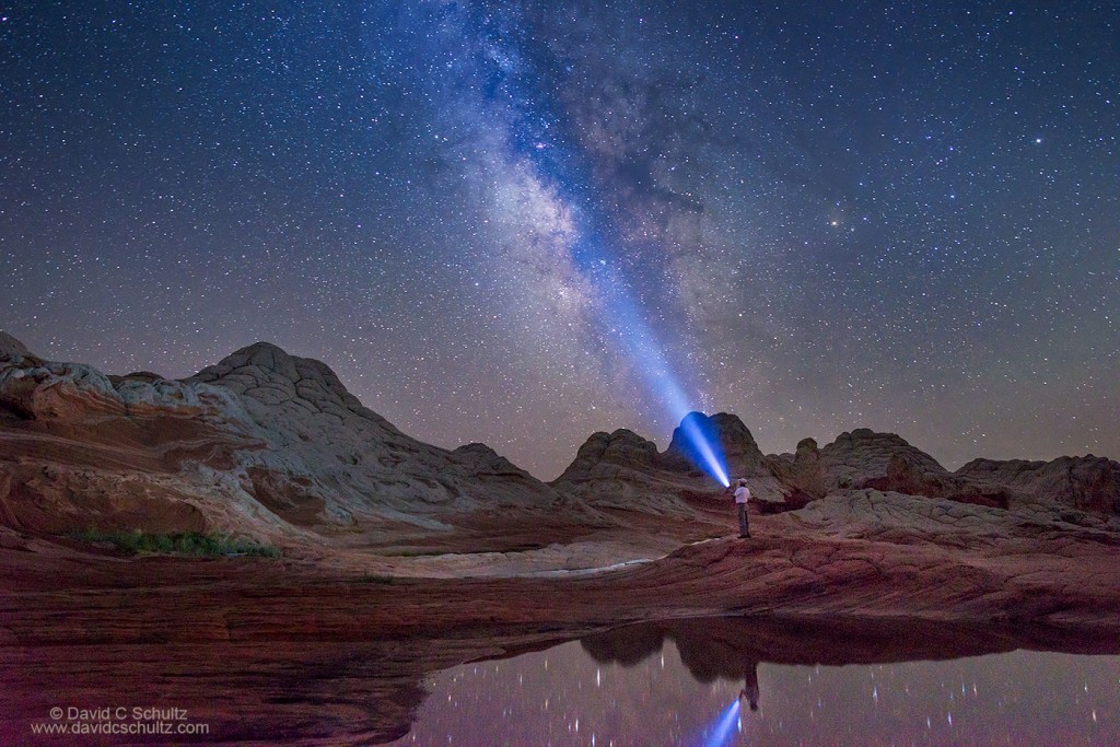
I will not go into much detail on how to get back to the formations but I do encourage you pick up a good map like the National Geographic Paria Canyon, Kanab and a very useful book called Photographing the Southwest (Volume 2) by Laurent Martre’s. You will need a high clearance 4×4 vehicle and it takes about 1 1/2 hours to reach the trailhead once you leave Highway 89A.
There are a few tours that go back to the White Pockets which I believe are based out of Kanab, Utah but you are looking at at least a 3 hour round trip just getting there and back. That means much of your day would be spent in the vehicle and you will not be there when the light is typically best without making special arrangements. While I was there most tours seemed to be leaving by 5pm in the summer. One group was there for sunset so do some searching and make some calls. Speaking of calls, do not expect cell phone coverage and go prepared to spend the night should things go bad. Unlike the nearby North and South Coyote Bluffs you will not need a permit…yet.
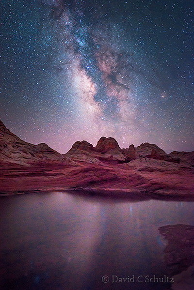
The actual formations are very close to the trailhead and do not cover a very large area but I encourage you to explore and not to settle for the “tripod spots”. During the summer you may have the benefit of the monsoon season and the previously mentioned pools of water which add to the drama of the place. After a very short walk in deep soft sand there is not a designated trail. Except perhaps at night it’s easy to figure your way around and back out of the formations. Taking along a GPS with a waypoint marked where the soft sand and parking lot are, especially if you’re going to be shooting at night, would be smart.
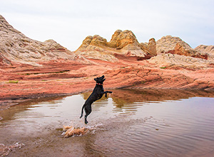
I’m keeping my eye on the weather map and hope to get back down in a few weeks for more Milky Way shooting. Moya, my dog, is also looking forward to more fun in the pools of water!


 White Pockets Arizona
Leave a reply